size: 593882
sha1: 70d354042d014e1fdc02d3df1da94809bb3a6dc5
sha256: fa0441a6e0936e44de377809897f60e5d93046dec249b4c8d1558e1b09c0db67
sha256 base64: +gRBpuCTbkTeN3gJiX9g5dkwRt7CSbTI0VWOGwnA22c=

size: 662749
sha1: 7353951dcd1ed842863bea0e23a511cebb875b30
sha256: 9e02bf04a7f4591ccf47dc2461eb8b77b5007a9a6712e45ffaefe57bf6662549
sha256 base64: ngK/BKf0WRzPR9wkYeuLd7UAeppnEuRf+u/le/ZmJUk=


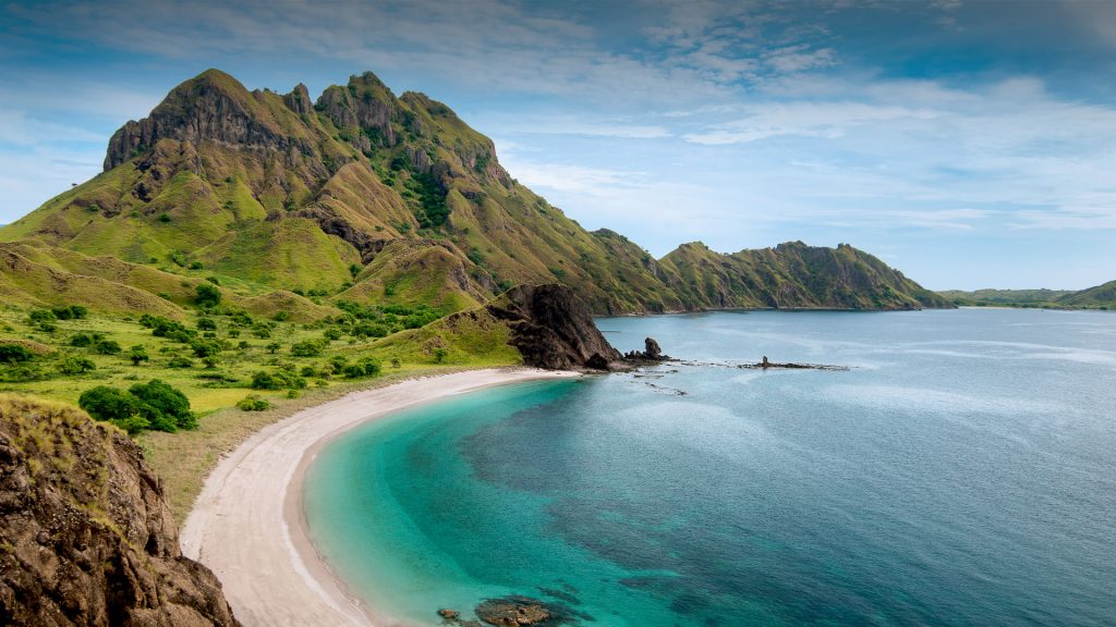
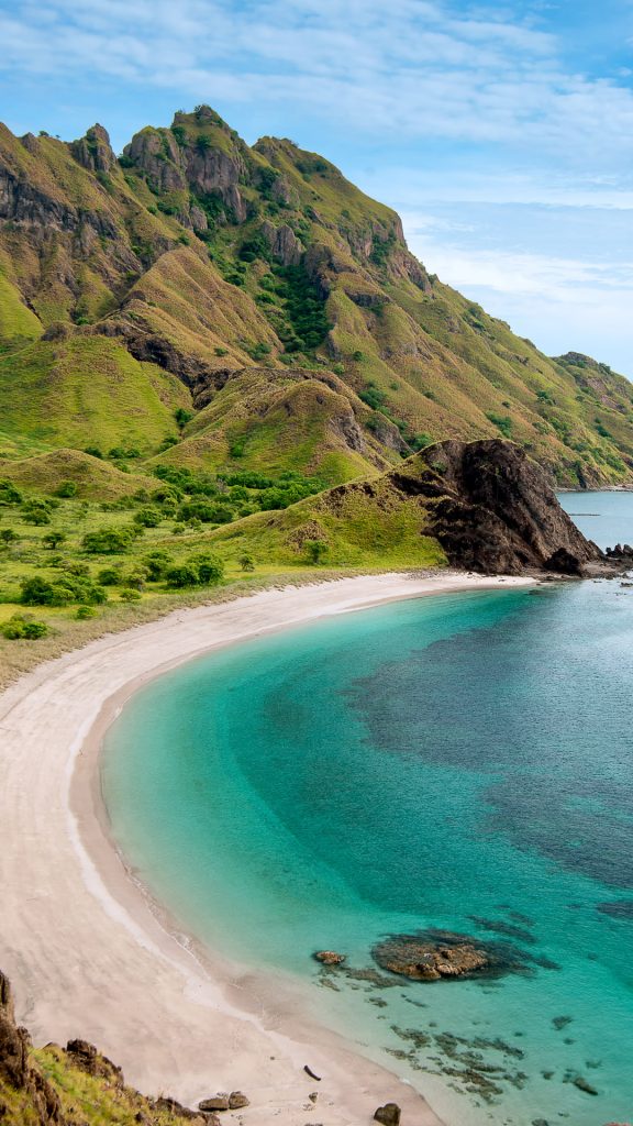
Mark is correct about the island’s name — Padar Island. According to Google Maps, the beach in the photo actually is just over a mile due south of what Google Maps has labeled “Pink Beach” — indeed, its sand is pink.
A road runs up from the south to the beach in the photo. At the northern terminus of the road, click on “Street View” and look to the north — there it is.
The naming of the image above is partial correct, but this beach is not located near Labuan Bajo on Flores Island. This beach in the image above is Pink Beach on Padar Island, a much smaller part of the Komodo archipelago of island, far west of Labuan Bajo.
Here is the correct location:
Pink Beach,
Padar Island,
Komodo National Park,
Komodo archipelago,
West Manggarai Regency,
East Nusa Tenggara Province,
Indonesia.
Thanks for the update