size: 498846
sha1: 075fb853e3637967a08fc0f7b67d6bd80b9d4efa
sha256: 75cf10bf41f8ccf5455e2a2a93c8f213e74d9c91658336659c7c7974ec98c635
sha256 base64: dc8Qv0H4zPVFXioqk8jyE+dNnJFlgzZlnHx5dOyYxjU=
size: 487646
sha1: c1d189ce1f81531f51aeb80b047ae8aad72b01ac
sha256: 91774d8f74aa1c84e04232ef3bc6845a01781d9f6af1caa53387fdf3930f590a
sha256 base64: kXdNj3SqHITgQjLvO8aEWgF4HZ9q8cqlM4f985MPWQo=
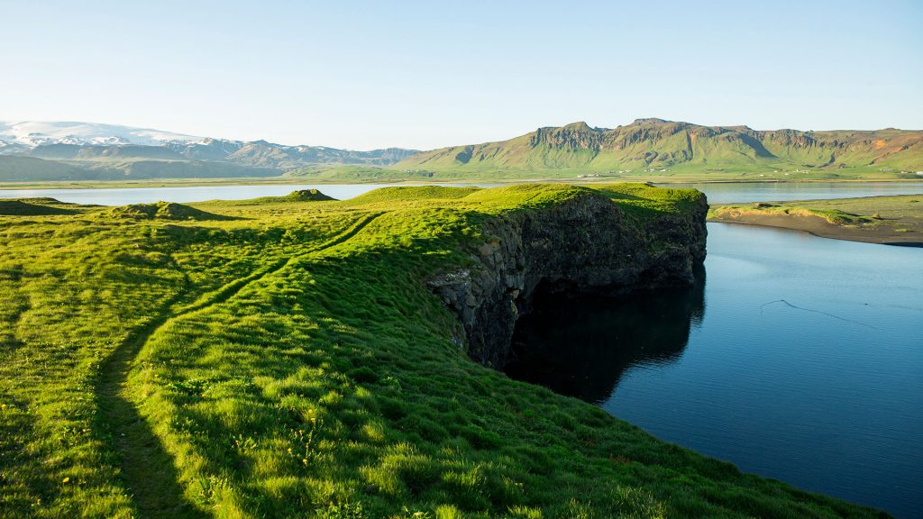
Hi, some additional info (to the landscape format): this panorama picture shows on the left the active volcano Katla covered by the Mýrdalsjökull glacier and on the right, behind the lagoon Dyrhólaós, the mountain massif of Reynisfjall. Thanks to Mark and you, bye.
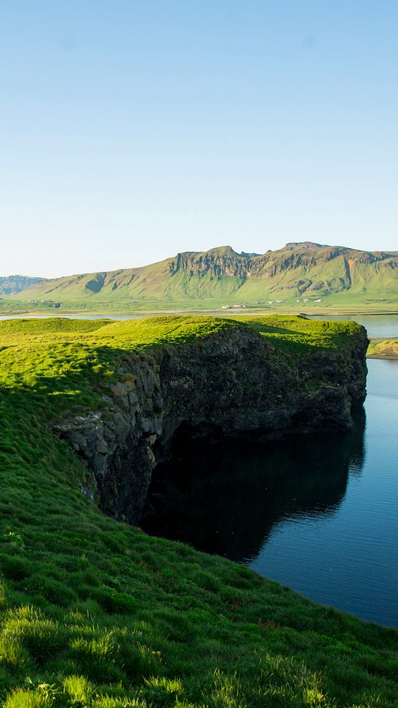
This body of water in the image above is part of the North Atlantic Ocean, and the land at the point (right side) of that grassy area is actually part of a beach area.
The whole area is named: “Dyrhólaey Viewpoint”, it is part of the “Dyrholaey Nature Reserve” in Iceland.
The image above shows the extension of rocky land pointing inland toward the mountains (opposite side) in the background. When the tide is in, there is more sea water, which forms the lagoon area.