size: 476730
sha1: 2e956e380a9012ee091306a61934fb11ebdeeb38
sha256: 1a1266f7f4b6b64d90c6115c959a4684b02442a9a77104f1489c3a2486437bb0
sha256 base64: GhJm9/S2tk2QxhFclZpGhLAkQqmncQTxSJw6JIZDe7A=

size: 570018
sha1: 81d78ae6e1c47c6a9f117d96e543b4214cc81878
sha256: 5a4f789cf36de116975bccdd9fd8b3aba1d12de07a4fb6cda5bac4841016199b
sha256 base64: Wk94nPNt4RaXW8zdn9izq6HRLeB6T7bNpbrEhBAWGZs=


To be more accurate, here is the better image name description:
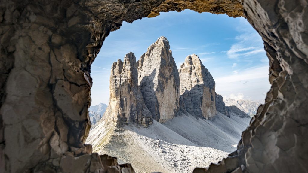
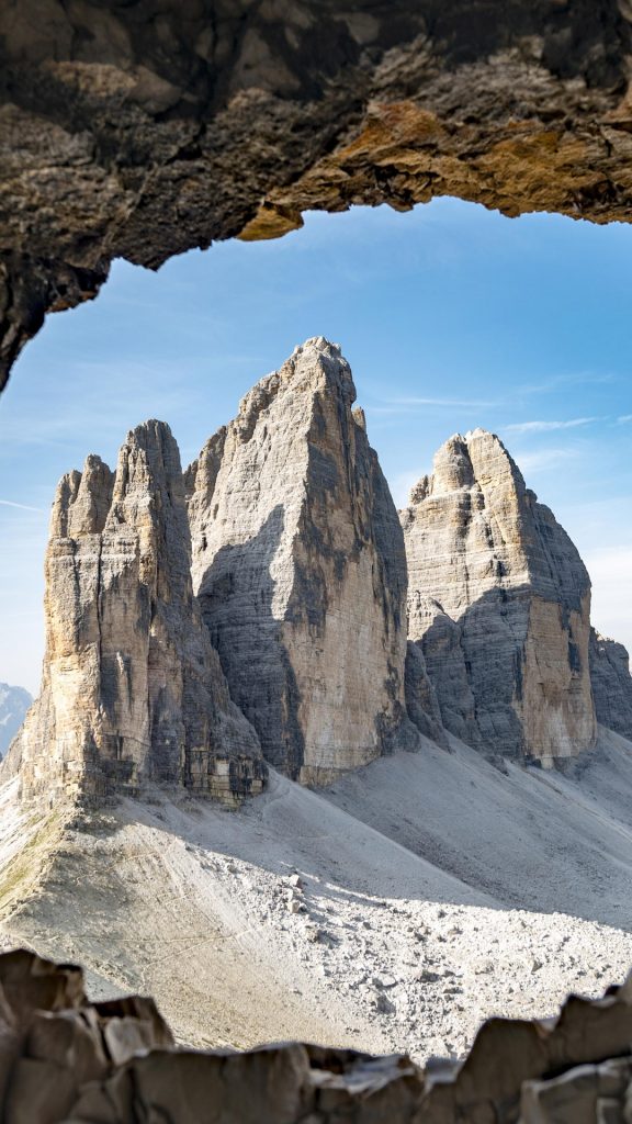
War Tunnel through Paternkofel Mountain,
with a view to Tre Cime di Lavaredo mountains,
of the Sexten Dolomites mountain range,
South Tyrol Province,
Italy.
This war tunnel (one of many) is in the Paternkofel Mountain.
The 3 peak mountains are the Tre Cime di Lavaredo mountains.
These mountains are in “Sexten Dolomites mountain range”, which is a nature reserve & mountain range in South Tyrol Province, Italy.
The main reason why the name I provides is more accurate, is because it correctly identifies the elements and structures in the image.